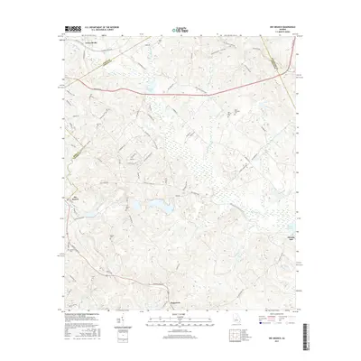
2017 Map of Dry Branch
USGS Topo · Published 2017About this map
Griswoldville and Fitzpatrick anchor this survey of the Georgia interior where Twiggs, Bibb, and Jones counties meet. The landscape is defined by the headwaters of numerous creeks, including Big Sandy Cr and Wolf Cr, which create a complex system of drainages and wetlands. A significant industrial and historical landmark, Myricks Mill, sits alongside Myricks Millpond on the eastern edge of the quadrangle, reflecting the area's long-standing connection to water-powered milling and local commerce.
Find a feature on this map
83 named features on this map. Tap any name to fly to it.
Don’t see what you’re looking for? This feature index may not catch every label — zoom into the map to look around manually.
Map Details
Editions of this 2017 Dry Branch Map
This is the sole edition of this map. No revisions or reprints were ever made.
Other maps of this area

1956 · Gordon
USGS Topo · 1:62,500

1956 · Warner Robins
USGS Topo · 1:62,500

1956 · Jeffersonville
USGS Topo · 1:62,500

1956 · Macon East
USGS Topo · 1:24,000

1956 · Macon
USGS Topo · 1:62,500

1957 · Macon
USGS Topo · 1:250,000

1958 · Macon
USGS Topo · 1:250,000

1964 · Macon
USGS Topo · 1:250,000
1973 · Gordon
USGS Topo · 1:24,000

1973 · Massey Hill
USGS Topo · 1:24,000