
1928 Map of Dry Canyon
USGS Topo · Published 1928About this map
The San Fernando Valley landscape is captured here during a pivotal transition from ranch land to residential grid, just as the rural outposts of Owensmouth and Girard were beginning to define the western valley. Large historical land grants like Ex Mission San Fernando and Escorpion still dominate the cadastral layout, set against the rising terrain of Topanga Canyon and the Dry Canyon drainage.
Find a feature on this map
20 named features on this map. Tap any name to fly to it.
Don’t see what you’re looking for? This feature index may not catch every label — zoom into the map to look around manually.
Map Details
Editions of this 1928 Dry Canyon Map
This is the sole edition of this map. No revisions or reprints were ever made.
Other maps of this area

1903 · Calabasas
USGS Topo · 1:62,500

1903 · Camulos
USGS Topo · 1:125,000

1925 · Chatsworth
USGS Topo · 1:24,000

1927 · Chatsworth
USGS Topo · 1:24,000
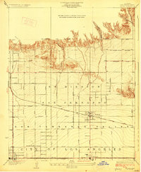
1928 · Zelzah
USGS Topo · 1:24,000
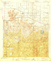
1928 · Reseda
USGS Topo · 1:24,000
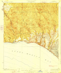
1928 · Topanga Canyon
USGS Topo · 1:24,000
1929 · Zelzah
USGS Topo · 1:24,000
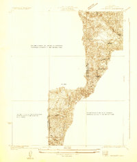
1929 · Chatsworth
USGS Topo · 1:24,000
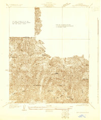
1929 · Dry Canyon
USGS Topo · 1:24,000