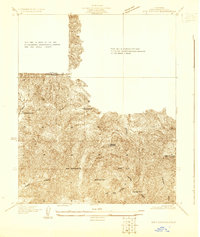
1929 Map of Dry Canyon
USGS Topo · Published 1929About this map
The San Bernardino Base Line cuts through this high-elevation terrain in the late 1920s, anchoring a landscape defined by deep drainages and early canyon developments. The settlement of Calabasas Highlands sits central to the topography, while Brents Junction marks a key transition point in the northwestern corner. The placement of the Calabasas Sch provides a glimpse into the local infrastructure serving these foothill communities before the era of widespread suburban expansion.
Find a feature on this map
14 named features on this map. Tap any name to fly to it.
Don’t see what you’re looking for? This feature index may not catch every label — zoom into the map to look around manually.
Map Details
Editions of this 1929 Dry Canyon Map
This is the sole edition of this map. No revisions or reprints were ever made.
Other maps of this area

1903 · Calabasas
USGS Topo · 1:62,500

1903 · Camulos
USGS Topo · 1:125,000

1925 · Chatsworth
USGS Topo · 1:24,000

1927 · Chatsworth
USGS Topo · 1:24,000
1928 · Zelzah
USGS Topo · 1:24,000

1928 · Dry Canyon
USGS Topo · 1:24,000
1928 · Reseda
USGS Topo · 1:24,000
1928 · Topanga Canyon
USGS Topo · 1:24,000
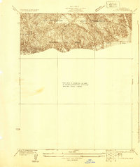
1929 · Zelzah
USGS Topo · 1:24,000
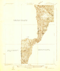
1929 · Chatsworth
USGS Topo · 1:24,000