1961 Map of Dry Creek
USGS Topo · Published 1963About this map
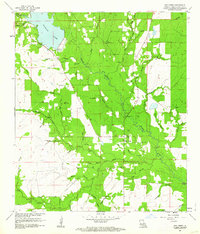
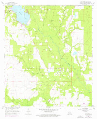
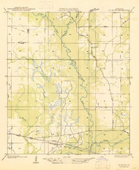
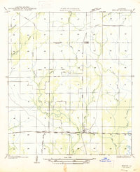
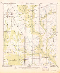
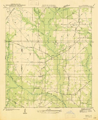
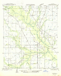
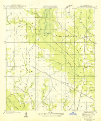
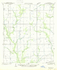
Bundick Lake dominates the northwest quadrant of this Beauregard Parish survey, where the Spillway Elev 95 and a nearby Gaging Station monitor the local hydrology. The settlement of Dry Creek serves as a local hub, surrounded by a landscape defined by timber and drainage. The mapping reveals a network of watercourses including Little Dry Creek, Crooked Creek, and Dry Bayou, many named for early families or local flora like Cherry Branch and Hickory Hollow.
Find a feature on this map
45 named features on this map. Tap any name to fly to it.
Don’t see what you’re looking for? This feature index may not catch every label — zoom into the map to look around manually.
Map Details
Editions of this 1961 Dry Creek Map
2 editions found
Other maps of this area
1935 · Mittie
USGS Topo · 1:31,680
1935 · Longville
USGS Topo · 1:31,680
1947 · Le Blanc
USGS Topo · 1:31,680

1947 · Ikes
USGS Topo · 1:31,680
1947 · Reeves
USGS Topo · 1:31,680
1947 · Longville
USGS Topo · 1:31,680
1947 · Grant
USGS Topo · 1:31,680
1947 · Bundick
USGS Topo · 1:31,680
1947 · Sugartown
USGS Topo · 1:31,680
1947 · Bannister
USGS Topo · 1:31,680