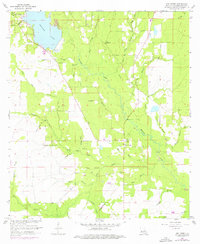
1961 Map of Dry Creek
USGS Topo · Published 1976About this map
Bundick Lake dominates the northwest corner of this Beauregard Parish survey, where the Spillway Elev 95 controls the flow into the meandering waters of Bundick Creek. The landscape is a network of timbered lowlands and creek bottoms, including West Caney Branch and East Caney Branch. Cultural life is anchored by small rural centers like Dry Creek and the settlement at Farris, with community anchors such as Shiloh Ch and Welcome Ch serving the area. Genealogy researchers can find several burial grounds, including Green Cem, Lindsey Cem, and the Dry Creek Cem. An Old Railroad Grade cutting north-to-south through the parish provides a tangible trace of the region's logging or industrial history, while the presence of a Gaging Station on the creek indicates the importance of water management in this drainage system.
Find a feature on this map
44 named features on this map. Tap any name to fly to it.
Don’t see what you’re looking for? This feature index may not catch every label — zoom into the map to look around manually.
Map Details
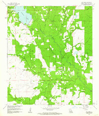
Editions of this 1961 Dry Creek Map
2 editions found
Other maps of this area

1935 · Mittie
USGS Topo · 1:31,680

1935 · Longville
USGS Topo · 1:31,680

1947 · Le Blanc
USGS Topo · 1:31,680

1947 · Ikes
USGS Topo · 1:31,680

1947 · Reeves
USGS Topo · 1:31,680

1947 · Longville
USGS Topo · 1:31,680

1947 · Grant
USGS Topo · 1:31,680

1947 · Bundick
USGS Topo · 1:31,680

1947 · Sugartown
USGS Topo · 1:31,680

1947 · Bannister
USGS Topo · 1:31,680