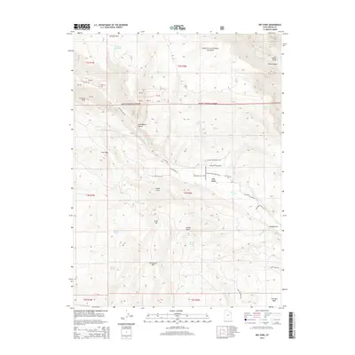
2014 Map of Dry Fork
USGS Topo · Published 2014About this map
Ashley National Forest dominates this landscape in Uintah County, where the transition from high-elevation ridgelines to deep canyon systems is sharply defined. The settlement of Dry Fork acts as a central point for the local road network, including N Dry Fork Settlement Rd and W Dry Fork Cemetery Rd, which leads to the Dry Fork Cem. The topography is marked by significant drainages and geological features such as Ashley Gorge, Black Canyon, and the prominent Sawtooth Ridge.
Find a feature on this map
61 named features on this map. Tap any name to fly to it.
Don’t see what you’re looking for? This feature index may not catch every label — zoom into the map to look around manually.
Map Details
Editions of this 2014 Dry Fork Map
This is the sole edition of this map. No revisions or reprints were ever made.
Other maps of this area

1885 · Ashley
USGS Topo · 1:250,000

1906 · Marsh Peak
USGS Topo · 1:125,000

1908 · Marsh Peak
USGS Topo · 1:125,000

1917 · Vernal
USGS Topo · 1:125,000

1950 · Dyer Mountain
USGS Topo · 1:24,000

1954 · Vernal
USGS Topo · 1:250,000

1958 · Vernal
USGS Topo · 1:250,000

1960 · Vernal
USGS Topo · 1:250,000

1964 · Vernal NE
USGS Topo · 1:24,000

1964 · Lapoint
USGS Topo · 1:24,000