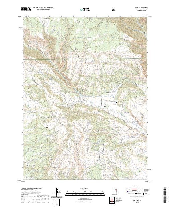
2023 Map of Dry Fork
USGS Topo · Published 2023About this map
Ashley National Forest dominates the northern landscape of this Uintah County region, where the rugged terrain of the Uinta Mountains transitions into the high desert basins. High elevation features like Sawtooth Ridge and Ashley Gorge define the drainage patterns that feed into Ashley Creek and its tributaries. The settlement of Dry Fork serves as a local hub, connected by a network of rural routes such as Dry Fork Settlement Rd and Mcconkie Ranch Rd.
Find a feature on this map
48 named features on this map. Tap any name to fly to it.
Don’t see what you’re looking for? This feature index may not catch every label — zoom into the map to look around manually.
Map Details
Editions of this 2023 Dry Fork Map
This is the sole edition of this map. No revisions or reprints were ever made.
Other maps of this area

1885 · Ashley
USGS Topo · 1:250,000

1906 · Marsh Peak
USGS Topo · 1:125,000

1908 · Marsh Peak
USGS Topo · 1:125,000

1917 · Vernal
USGS Topo · 1:125,000

1950 · Dyer Mountain
USGS Topo · 1:24,000

1954 · Vernal
USGS Topo · 1:250,000

1958 · Vernal
USGS Topo · 1:250,000

1960 · Vernal
USGS Topo · 1:250,000

1964 · Vernal NE
USGS Topo · 1:24,000

1964 · Lapoint
USGS Topo · 1:24,000