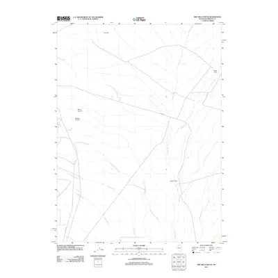
2011 Map of Dry Hills South
USGS Topo · Published 2011About this map
Dry Hills dominates the northern landscape of this Humboldt County region, overlooking a complex drainage network where Rabbit Creek and Kelly Creek converge. The terrain transitions from the high ground of Rocky Canyon and Hansen Canyon into the broad expanse of Layton Field and Clover Valley. This 2011 survey reveals a landscape defined by seasonal watercourses like Summer Camp Creek, Julian Creek, and Osgood Creek, which carve through the high desert floor. Human passage is marked primarily by sparse ranching or mining roads, most notably Burma Rd and Getchel Rd in the southwest, while Granite Creek and Spring Branch suggest the critical role of intermittent water sources in this arid environment.
Find a feature on this map
14 named features on this map. Tap any name to fly to it.
Don’t see what you’re looking for? This feature index may not catch every label — zoom into the map to look around manually.
Map Details
Editions of this 2011 Dry Hills South Map
This is the sole edition of this map. No revisions or reprints were ever made.
Other maps of this area

1882 · Paradise
USGS Topo · 1:250,000

1893 · Paradise
USGS Topo · 1:250,000

1945 · Osgood Mountains
USGS Topo · 1:62,500

1945 · Hot Springs
USGS Topo · 1:62,500

1947 · Osgood Mountains
USGS Topo · 1:62,500

1947 · Hot Springs Peak
USGS Topo · 1:62,500

1955 · McDermitt
USGS Topo · 1:250,000

1959 · McDermitt
USGS Topo · 1:250,000

1980 · Dry Hills South
USGS Topo · 1:24,000
1980 · The Knolls
USGS Topo · 1:24,000