
1980 Map of Dry Hills South
USGS Topo · Published 1980About this map
The Osgood Mountains dominate the western horizon of this portion of Humboldt County, characterized by a complex network of mining activity and remote ranching outposts. The presence of the Reilly Mine and numerous Tailings and Mine Dump sites indicates a landscape heavily shaped by mineral extraction. Toward the east, the terrain descends into the drainage basins of Rabbit Creek and Kelly Creek, where the presence of Duvivier Place and Layton Field suggests early 20th-century land use and isolated settlements. Water management in this arid environment is evidenced by several Well sites and a Corral, marking the intersection of the mining industry and the cattle-grazing heritage of the Dry Hills region. Numerous Jeep Trail routes and a remote Landing Strip provide the primary means of navigating this high-desert territory.
Find a feature on this map
24 named features on this map. Tap any name to fly to it.
Don’t see what you’re looking for? This feature index may not catch every label — zoom into the map to look around manually.
Map Details
Editions of this 1980 Dry Hills South Map
This is the sole edition of this map. No revisions or reprints were ever made.
Other maps of this area

1882 · Paradise
USGS Topo · 1:250,000

1893 · Paradise
USGS Topo · 1:250,000

1945 · Osgood Mountains
USGS Topo · 1:62,500

1945 · Hot Springs
USGS Topo · 1:62,500

1947 · Osgood Mountains
USGS Topo · 1:62,500

1947 · Hot Springs Peak
USGS Topo · 1:62,500

1955 · McDermitt
USGS Topo · 1:250,000

1959 · McDermitt
USGS Topo · 1:250,000
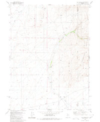
1980 · The Knolls
USGS Topo · 1:24,000
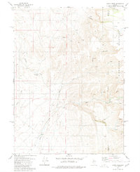
1980 · Kenny Creek
USGS Topo · 1:24,000