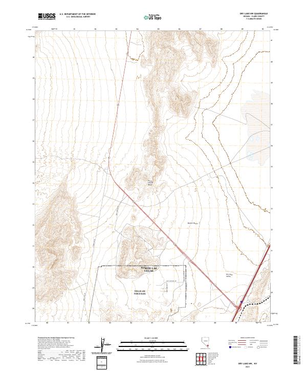
2021 Map of Dry Lake NW
USGS Topo · Published 2021About this map
North Las Vegas marks the southern reach of this arid corridor, where the edges of the city meet the vastness of the Mojave Desert. The map documents the northern growth of the metropolitan area along the Interstate 15 and Route 93 corridors, particularly the industrial development indicated by thoroughfares like Apex Power Pkwy, Apex Sapphire Ave, and Grand Valley Pkwy.
Find a feature on this map
20 named features on this map. Tap any name to fly to it.
Don’t see what you’re looking for? This feature index may not catch every label — zoom into the map to look around manually.
Map Details
Editions of this 2021 Dry Lake NW Map
This is the sole edition of this map. No revisions or reprints were ever made.
Other maps of this area

1886 · Saint Thomas
USGS Topo · 1:250,000

1893 · Saint Thomas
USGS Topo · 1:250,000

1907 · Las Vegas
USGS Topo · 1:250,000

1908 · Las Vegas
USGS Topo · 1:250,000

1926 · Boulder Canyon
USGS Topo · 1:96,000

1945 · Sheep Range
USGS Topo · 1:125,000

1952 · Gass Peak
USGS Topo · 1:62,500

1952 · Dry Lake
USGS Topo · 1:62,500

1954 · Las Vegas
USGS Topo · 1:250,000

1957 · Las Vegas
USGS Topo · 1:250,000