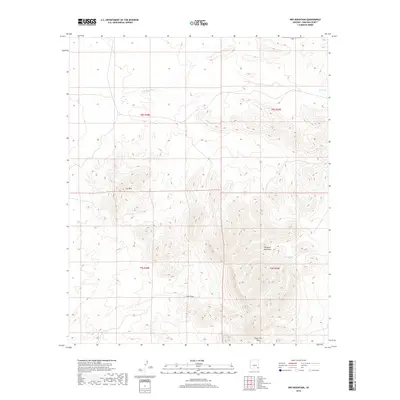
2018 Map of Dry Mountain
USGS Topo · Published 2018About this map
Dry Mountain and the western reaches of the Whitlock Mountains dominate this high-desert landscape in Graham County. The terrain is defined by a series of intermittent water features and drainage systems, essential for land management in this arid region. Runoff follows the deep carving of Cove Draw and the broad Slick Rock Wash, while man-made water collection points such as Cat Tank, Rock Tank, and Fall Tank are scattered across the township grids. A significant utility corridor traverses the southern portion of the quadrangle at Powerline Pass, marking one of the few named navigational landmarks through the peaks. This survey captures the specialized infrastructure of the American Southwest, where topographic prominence like Cove Tank dictates the movement of both water and travel across the range.
Find a feature on this map
13 named features on this map. Tap any name to fly to it.
Don’t see what you’re looking for? This feature index may not catch every label — zoom into the map to look around manually.
Map Details
Editions of this 2018 Dry Mountain Map
This is the sole edition of this map. No revisions or reprints were ever made.
Other maps of this area

1954 · Silver City
USGS Topo · 1:250,000

1958 · Silver City
USGS Topo · 1:250,000

1960 · Guthrie
USGS Topo · 1:62,500

1960 · Safford
USGS Topo · 1:62,500

1962 · Silver City
USGS Topo · 1:250,000
1966 · Tanque
USGS Topo · 1:24,000
1966 · Artesia NE
USGS Topo · 1:24,000
1966 · Javelina Peak
USGS Topo · 1:24,000
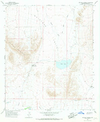
1966 · Whitlock Cienega
USGS Topo · 1:24,000
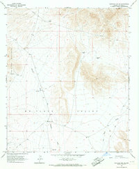
1966 · Whitlock Mts. NE
USGS Topo · 1:24,000