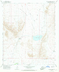
1966 Map of Whitlock Cienega
USGS Topo · Published 1967About this map
Whitlock Cienega Old Stage Station sits at the heart of this mid-1960s desert landscape, serving as a reminder of early overland travel routes through Graham County. The geography is defined by the sharp transition between the Whitlock Mountains and the broad Whitlock Valley, where water—a critical resource in this arid environment—is marked by scattered improvements such as West Well, Clay Well, and Hidden Tank.
Find a feature on this map
12 named features on this map. Tap any name to fly to it.
Don’t see what you’re looking for? This feature index may not catch every label — zoom into the map to look around manually.
Map Details
Editions of this 1966 Whitlock Cienega Map
2 editions found
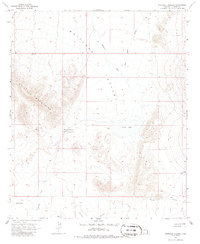
Other maps of this area

1917 · San Simon
USGS Topo · 1:125,000

1926 · Orange Butte
USGS Topo · 1:62,500

1928 · Bowie
USGS Topo · 1:62,500

1949 · Bowie
USGS Topo · 1:62,500

1950 · San Simon
USGS Topo · 1:62,500

1950 · Bowie
USGS Topo · 1:62,500

1951 · San Simon
USGS Topo · 1:62,500

1954 · Silver City
USGS Topo · 1:250,000

1958 · Silver City
USGS Topo · 1:250,000

1960 · Duncan
USGS Topo · 1:62,500