
1960 Map of Duncan
USGS Topo · Published 1961About this map
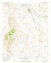
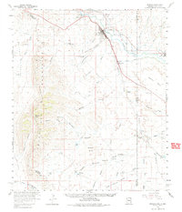
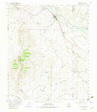
The Gila River valley serves as the central artery for this 1960 survey, supporting a string of agricultural settlements and irrigation systems along the Arizona-New Mexico border. The town of Duncan stands as a focal point, flanked by the smaller communities of Franklin and Virden. This area is characterized by an extensive network of gravity-fed water management, including the Sunset Canal, Model Canal, and New Canal, which draw from the river to sustain local farming. The Southern Pacific railroad parallels the river, providing vital transport through this arid landscape.
Find a feature on this map
64 named features on this map. Tap any name to fly to it.
Don’t see what you’re looking for? This feature index may not catch every label — zoom into the map to look around manually.
Map Details
Editions of this 1960 Duncan Map
4 editions found
Other maps of this area

1917 · San Simon
USGS Topo · 1:125,000

1926 · Orange Butte
USGS Topo · 1:62,500

1928 · Bowie
USGS Topo · 1:62,500

1949 · Bowie
USGS Topo · 1:62,500

1950 · San Simon
USGS Topo · 1:62,500

1950 · Bowie
USGS Topo · 1:62,500

1951 · San Simon
USGS Topo · 1:62,500

1954 · Silver City
USGS Topo · 1:250,000

1958 · Silver City
USGS Topo · 1:250,000

1959 · Steeple Rock
USGS Topo · 1:62,500