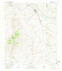
1960 Map of Duncan
USGS Topo · Published 1983About this map
The Gila River valley serves as the lifeblood of this high-desert borderland, supporting a network of agricultural settlements and irrigation infrastructure as they appeared in 1960. The town of Duncan stands as the primary hub, surrounded by a complex system of canals and water management features like Horseshoe Terrace Dam No 1 and Stateline Dam, which define the agrarian footprint near the Arizona-New Mexico border. The Southern Pacific Railroad cuts a diagonal path through the valley, linking the river communities of Franklin and Virden to wider markets.
Find a feature on this map
72 named features on this map. Tap any name to fly to it.
Don’t see what you’re looking for? This feature index may not catch every label — zoom into the map to look around manually.
Map Details
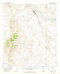
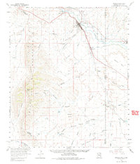
Editions of this 1960 Duncan Map
4 editions found

Other maps of this area

1917 · San Simon
USGS Topo · 1:125,000

1926 · Orange Butte
USGS Topo · 1:62,500

1928 · Bowie
USGS Topo · 1:62,500

1949 · Bowie
USGS Topo · 1:62,500

1950 · San Simon
USGS Topo · 1:62,500

1950 · Bowie
USGS Topo · 1:62,500

1951 · San Simon
USGS Topo · 1:62,500

1954 · Silver City
USGS Topo · 1:250,000

1958 · Silver City
USGS Topo · 1:250,000

1959 · Steeple Rock
USGS Topo · 1:62,500