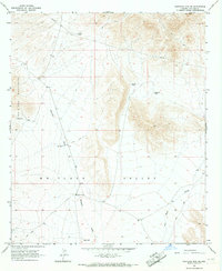
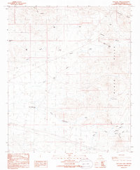
1966 Map of Whitlock Mts. NE
USGS Topo · Published 1967About this map
Hackberry Ranch serves as a lone hub of settlement within this arid landscape of the mid-1960s, situated at the confluence of several primitive transportation routes. The terrain is defined by the sharp rise of the Whitlock Mountains to the west and the high summit of Ash Peak in the northeast, both of which overlook the broad expanse of the Whitlock Valley. This survey captures a highly specialized water-management network essential for cattle ranching in the high desert, evidenced by numerous named catchments such as Soapweed Tank, Bat Tank, and Mud Tank. Drainage patterns like Whitlock Wash and Hot Well Draw dictate the local geography, while a prominent Pipeline and various Jeep Trails indicate the modern infrastructure of the era cutting across the traditional open range.
Find a feature on this map
17 named features on this map. Tap any name to fly to it.
Don’t see what you’re looking for? This feature index may not catch every label — zoom into the map to look around manually.
Map Details
Editions of this 1966 Whitlock Mts. NE Map
This is the sole edition of this map. No revisions or reprints were ever made.
Other maps of this area

1954 · Silver City
USGS Topo · 1:250,000

1958 · Silver City
USGS Topo · 1:250,000

1959 · York Valley
USGS Topo · 1:62,500

1960 · Guthrie
USGS Topo · 1:62,500

1960 · Duncan
USGS Topo · 1:62,500

1962 · Silver City
USGS Topo · 1:250,000
1966 · Javelina Peak
USGS Topo · 1:24,000
1966 · Whitlock Cienega
USGS Topo · 1:24,000
1966 · Dry Mountain
USGS Topo · 1:24,000
1985 · Tollgate Tank
USGS Topo · 1:24,000