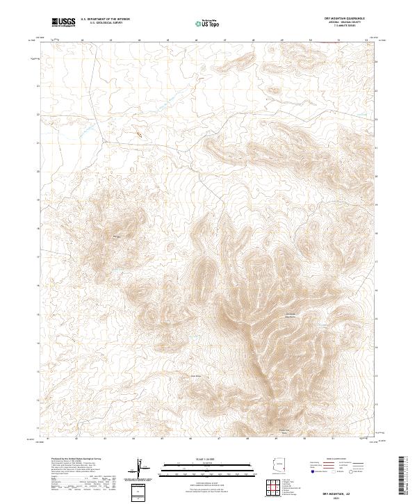
2021 Map of Dry Mountain
USGS Topo · Published 2021About this map
The Whitlock Mountains dominate the southeastern portion of this Graham County landscape, characterized by steep elevation changes and intricate drainage patterns. In the center of the sheet, Dry Mtn stands as a prominent landmark, surrounded by a network of seasonal water sources such as Rock Tank and Cove Tank. The topography reveals a land managed for water conservation, where several named tanks and reservoirs are positioned along dry watercourses to capture intermittent runoff.
Find a feature on this map
13 named features on this map. Tap any name to fly to it.
Don’t see what you’re looking for? This feature index may not catch every label — zoom into the map to look around manually.
Map Details
Editions of this 2021 Dry Mountain Map
This is the sole edition of this map. No revisions or reprints were ever made.
Other maps of this area

1954 · Silver City
USGS Topo · 1:250,000

1958 · Silver City
USGS Topo · 1:250,000

1960 · Guthrie
USGS Topo · 1:62,500

1960 · Safford
USGS Topo · 1:62,500

1962 · Silver City
USGS Topo · 1:250,000
1966 · Tanque
USGS Topo · 1:24,000
1966 · Artesia NE
USGS Topo · 1:24,000
1966 · Javelina Peak
USGS Topo · 1:24,000
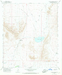
1966 · Whitlock Cienega
USGS Topo · 1:24,000
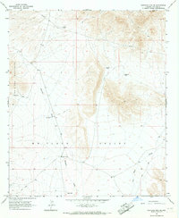
1966 · Whitlock Mts. NE
USGS Topo · 1:24,000