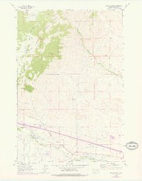
1963 Map of Dry Mountain
USGS Topo · Published 1978About this map
Deerlodge National Forest dominates the western half of this landscape, where the summit of Dry Mountain overlooks a transition from timbered slopes to the valley floor. In the rugged terrain south of Gillespie Creek, local industry is marked by the Easter Lily Mine and the unique geological formation of Ringing Rocks. The map shows a clear development of water management and transportation systems required for the region's ranching and mining activities.
Find a feature on this map
26 named features on this map. Tap any name to fly to it.
Don’t see what you’re looking for? This feature index may not catch every label — zoom into the map to look around manually.
Map Details
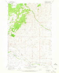
Editions of this 1963 Dry Mountain Map
2 editions found
Other maps of this area

1889 · Helena
USGS Topo · 1:250,000

1893 · Helena
USGS Topo · 1:250,000

1893 · Dillon
USGS Topo · 1:250,000

1899 · Boulder
USGS Topo · 1:125,000

1899 · Helena
USGS Topo · 1:250,000

1903 · Helena
USGS Topo · 1:250,000

1947 · Butte
USGS Topo · 1:250,000

1954 · Elk Park
USGS Topo · 1:62,500

1954 · Boulder
USGS Topo · 1:62,500

1955 · Dillon
USGS Topo · 1:250,000