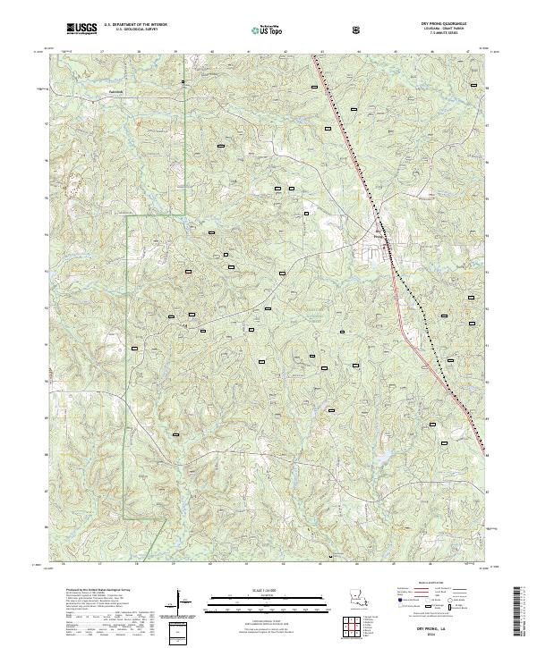
2024 Map of Dry Prong
USGS Topo · Published 2024About this map
Dry Prong sits as the central settlement in this portion of Grant Parish, characterized by a landscape where managed timberlands and federal conservation efforts converge. Much of the eastern and central terrain is defined by the Kisatchie National Forest, a region marked by numerous named drainages such as Black Creek and Beaver Creek that cut through the low-lying hollows. The settlement pattern follows a network of local roads and family-named routes, including Slayter Nichols Rd and Donaldson Rd, indicating a history of rural residences and timber access.
Find a feature on this map
63 named features on this map. Tap any name to fly to it.
Don’t see what you’re looking for? This feature index may not catch every label — zoom into the map to look around manually.
Map Details
Editions of this 2024 Dry Prong Map
This is the sole edition of this map. No revisions or reprints were ever made.
Other maps of this area

1932 · Colfax NE
USGS Topo · 1:31,680

1932 · Boyce NE
USGS Topo · 1:31,680

1932 · Colfax SW
USGS Topo · 1:31,680

1932 · Colfax SE
USGS Topo · 1:31,680

1932 · Colfax NW
USGS Topo · 1:31,680

1936 · Colfax
USGS Topo · 1:62,500

1936 · Pollock
USGS Topo · 1:62,500

1941 · Alexandria
USGS Topo · 1:62,500

1941 · Pollock
USGS Topo · 1:62,500

1941 · Boyce
USGS Topo · 1:62,500