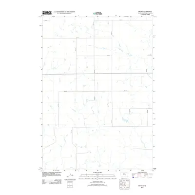
2012 Map of Dry Run
USGS Topo · Published 2012About this map
Dry Run snakes through this rural expanse of Buffalo County, carving a seasonal path across a landscape defined by its section-line road network. This early 21st-century survey documents a sparsely populated region of South Dakota where the intersection of north-south avenues and east-west streets creates a rigid grid over the undulating prairie. Significant drainage systems including Crow Cr and Elm Cr provide the primary geographical relief, showing how natural hydrology persists alongside the human-imposed geometry of the land. The mapping illustrates the enduring pattern of Great Plains land division, where large agricultural tracts are serviced by thoroughfares like 354th Ave and 226th St.
Find a feature on this map
15 named features on this map. Tap any name to fly to it.
Don’t see what you’re looking for? This feature index may not catch every label — zoom into the map to look around manually.
Map Details
Editions of this 2012 Dry Run Map
This is the sole edition of this map. No revisions or reprints were ever made.
Other maps of this area

1941 · Pukwana
USGS Topo · 1:62,500

1941 · Kimball North
USGS Topo · 1:62,500

1951 · Pukwana
USGS Topo · 1:62,500

1951 · Kimball North
USGS Topo · 1:62,500

1953 · Huron
USGS Topo · 1:250,000

1954 · Huron
USGS Topo · 1:250,000

1955 · Mitchell
USGS Topo · 1:250,000

1959 · Mitchell
USGS Topo · 1:250,000

1973 · Big Bend Dam 4 SE
USGS Topo · 1:24,000

1973 · Gannvalley
USGS Topo · 1:24,000
Featured Places
- Eden Township, SD
- Grant West Township, Crow Creek District
- Elvira Township, SD
- Eldorado Township, SD
- Pershing Township, SD