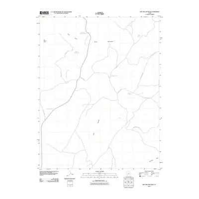
2010 Map of Dry Willow Peak
USGS Topo · Published 2010About this map
Dry Willow Peak rises over an arid landscape defined by seasonal water systems and rugged back-country access roads in Iron County. The high-desert terrain of the Black Mountains is carved by deep drainages like Long Hollow and Penny Hollow, where names like Penney Hollow Pond suggest historical reliance on managed water sources for livestock or land management.
Find a feature on this map
16 named features on this map. Tap any name to fly to it.
Don’t see what you’re looking for? This feature index may not catch every label — zoom into the map to look around manually.
Map Details
Editions of this 2010 Dry Willow Peak Map
This is the sole edition of this map. No revisions or reprints were ever made.
Other maps of this area

1885 · St. George
USGS Topo · 1:250,000

1885 · Beaver
USGS Topo · 1:250,000

1886 · Kanab
USGS Topo · 1:250,000

1891 · St. George
USGS Topo · 1:250,000

1950 · Enoch
USGS Topo · 1:62,500

1950 · Enoch NE
USGS Topo · 1:24,000

1952 · Enoch NE
USGS Topo · 1:24,000

1953 · Ninemile Knoll
USGS Topo · 1:24,000

1953 · Minersville
USGS Topo · 1:24,000

1953 · Richfield
USGS Topo · 1:250,000