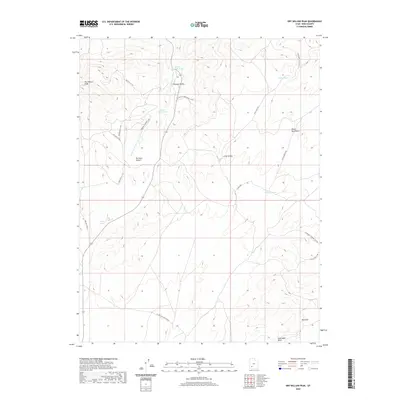
2020 Map of Dry Willow Peak
USGS Topo · Published 2020About this map
Dry Willow Peak stands as the primary landmark in this corner of the Black Mountains in Iron County. The landscape is defined by a network of drainage washes and high-altitude basins, including Parowan Canyon and Long Hollow. This modern survey details an extensive system of secondary roads and tracks, such as Bulloch Tv Rd and the W Long Hollow Cutoff, which navigate the elevation shifts between the volcanic peaks and the Red Hills. Water resources are represented by scattered upland catchments like Tebbs Pond and Coyote Pond, alongside the drainage of Jackrabbit Wash. These features indicate the area's continued use for rangeland management and communication access, illustrated by routes like the Parowan Canyon Loop.
Find a feature on this map
25 named features on this map. Tap any name to fly to it.
Don’t see what you’re looking for? This feature index may not catch every label — zoom into the map to look around manually.
Map Details
Editions of this 2020 Dry Willow Peak Map
This is the sole edition of this map. No revisions or reprints were ever made.
Other maps of this area

1885 · St. George
USGS Topo · 1:250,000

1885 · Beaver
USGS Topo · 1:250,000

1886 · Kanab
USGS Topo · 1:250,000

1891 · St. George
USGS Topo · 1:250,000

1950 · Enoch
USGS Topo · 1:62,500

1950 · Enoch NE
USGS Topo · 1:24,000

1952 · Enoch NE
USGS Topo · 1:24,000

1953 · Ninemile Knoll
USGS Topo · 1:24,000

1953 · Minersville
USGS Topo · 1:24,000

1953 · Richfield
USGS Topo · 1:250,000