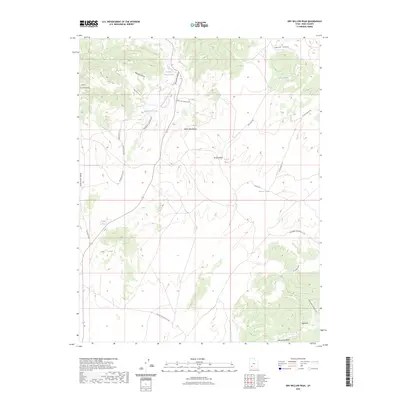
2023 Map of Dry Willow Peak
USGS Topo · Published 2023About this map
Dry Willow Peak anchors a landscape defined by high ridges and ephemeral water sources in this modern survey of Iron County. The terrain is marked by the Black Mountains and the Red Hills, where a network of unpaved access routes like the Bulloch Tv Rd and N Hills Beach Rd weave through the high-elevation valleys. Human activity is evidenced primarily by water management and seeding efforts, with numerous small impoundments such as Tebbs Pond, District Pond, and Burnt Spot Pond scattered across the map. These features, along with the Jackrabbit Seeding Cuttoff, reflect contemporary land use and conservation practices in the arid basins of the Great Basin region. The interplay between the drainage of Parowan Canyon and the surrounding Little Horse Valley illustrates the complex topography of this interior drainage system.
Find a feature on this map
26 named features on this map. Tap any name to fly to it.
Don’t see what you’re looking for? This feature index may not catch every label — zoom into the map to look around manually.
Map Details
Editions of this 2023 Dry Willow Peak Map
This is the sole edition of this map. No revisions or reprints were ever made.
Other maps of this area

1885 · St. George
USGS Topo · 1:250,000

1885 · Beaver
USGS Topo · 1:250,000

1886 · Kanab
USGS Topo · 1:250,000

1891 · St. George
USGS Topo · 1:250,000

1950 · Enoch
USGS Topo · 1:62,500

1950 · Enoch NE
USGS Topo · 1:24,000

1952 · Enoch NE
USGS Topo · 1:24,000

1953 · Ninemile Knoll
USGS Topo · 1:24,000

1953 · Minersville
USGS Topo · 1:24,000

1953 · Richfield
USGS Topo · 1:250,000