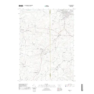
2019 Map of Du Bois
USGS Topo · Published 2019About this map
DuBois and the surrounding townships in Jefferson and Clearfield counties showcase a dense network of early 21st-century settlements and memorial sites. The landscape is heavily marked by local heritage, from the commercial corridor in Sandy to the smaller residential clusters of Sykesville, Troutville, and Rathmel. A high concentration of cemeteries, including Sons of Israel Cem and the Sykesville Memorial Cem, indicates the deep genealogical roots of these mining and mountain communities.
Find a feature on this map
143 named features on this map. Tap any name to fly to it.
Don’t see what you’re looking for? This feature index may not catch every label — zoom into the map to look around manually.
Map Details
Editions of this 2019 Du Bois Map
This is the sole edition of this map. No revisions or reprints were ever made.
Other maps of this area

1903 · Curwensville
USGS Topo · 1:62,500

1906 · Punxsutawney
USGS Topo · 1:62,500

1922 · Du Bois
USGS Topo · 1:62,500

1924 · Du Bois
USGS Topo · 1:62,500

1929 · Penfield
USGS Topo · 1:62,500

1932 · Penfield
USGS Topo · 1:62,500

1939 · Curwensville
USGS Topo · 1:62,500

1939 · Punxsutawney
USGS Topo · 1:62,500

1942 · Curwensville
USGS Topo · 1:62,500

1942 · Punxsutawney
USGS Topo · 1:62,500