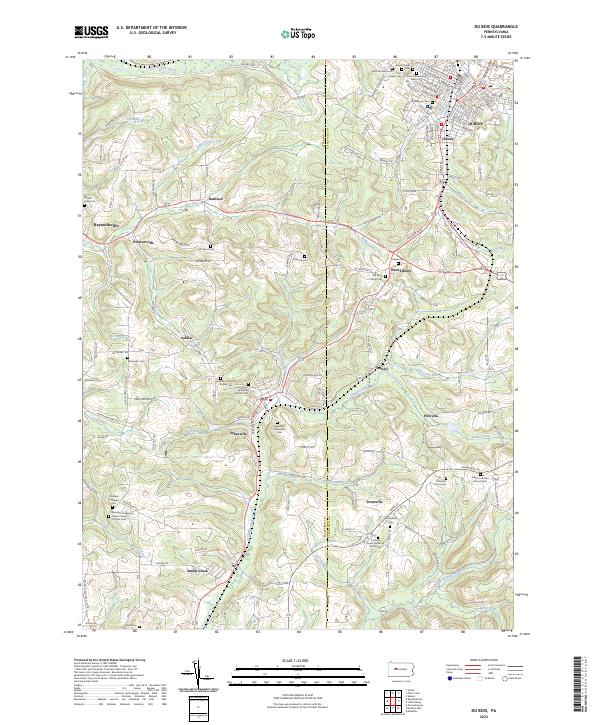
2023 Map of Du Bois
USGS Topo · Published 2023About this map
The boundary between Jefferson and Clearfield counties runs through this upland landscape, where numerous mining-era settlements and religious landmarks cluster along the valley floors. In DuBois, a dense network of streets and cemeteries like Saint Catherine of Siena Cem and Rumbarger Cem reflect the city's historical growth at the confluence of Sandy Lick Creek and Pentz Run. To the southwest, the town of Sykesville sits nestled near Buck Run, notable for its diverse religious heritage as seen in the Holy Trinity Byzantine Catholic Cem and the Sykesville Memorial Cem.
Find a feature on this map
145 named features on this map. Tap any name to fly to it.
Don’t see what you’re looking for? This feature index may not catch every label — zoom into the map to look around manually.
Map Details
Editions of this 2023 Du Bois Map
This is the sole edition of this map. No revisions or reprints were ever made.
Other maps of this area

1903 · Curwensville
USGS Topo · 1:62,500

1906 · Punxsutawney
USGS Topo · 1:62,500

1922 · Du Bois
USGS Topo · 1:62,500

1924 · Du Bois
USGS Topo · 1:62,500

1929 · Penfield
USGS Topo · 1:62,500

1932 · Penfield
USGS Topo · 1:62,500

1939 · Curwensville
USGS Topo · 1:62,500

1939 · Punxsutawney
USGS Topo · 1:62,500

1942 · Curwensville
USGS Topo · 1:62,500

1942 · Punxsutawney
USGS Topo · 1:62,500