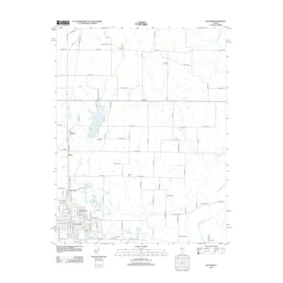
2012 Map of Du Quoin
USGS Topo · Published 2012About this map
The city of Du Quoin serves as the focal point for this southern Illinois landscape, characterized by its grid of streets and key civic sites like the local Post Office. North of the city, the terrain transitions into a more rural pattern where agricultural land is dotted with small settlements like Saint Johns, Holden, and Sunfield. The region's industrial footprint is visible through the Tamaroa South Oil Field and the rail-side location of Goddard Siding, reflecting the area's economic ties to resource extraction and transport.
Find a feature on this map
115 named features on this map. Tap any name to fly to it.
Don’t see what you’re looking for? This feature index may not catch every label — zoom into the map to look around manually.
Map Details
Editions of this 2012 Du Quoin Map
This is the sole edition of this map. No revisions or reprints were ever made.
Other maps of this area

1910 · Herrin
USGS Topo · 1:62,500

1910 · Murphysboro
USGS Topo · 1:62,500

1924 · Pinckneyville
USGS Topo · 1:62,500

1926 · Pinckneyville
USGS Topo · 1:62,500

1926 · Duquoin
USGS Topo · 1:62,500

1936 · Herrin
USGS Topo · 1:62,500

1938 · Murphysboro
USGS Topo · 1:62,500

1949 · Paducah
USGS Topo · 1:250,000

1950 · Paducah
USGS Topo · 1:250,000

1954 · Paducah
USGS Topo · 1:250,000