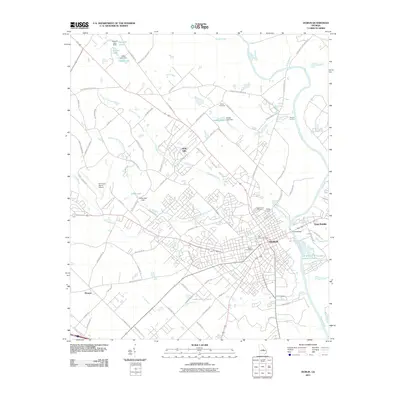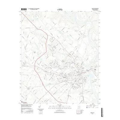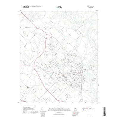
2024 Map of Dublin
USGS Topo · Published 2024About this map
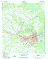
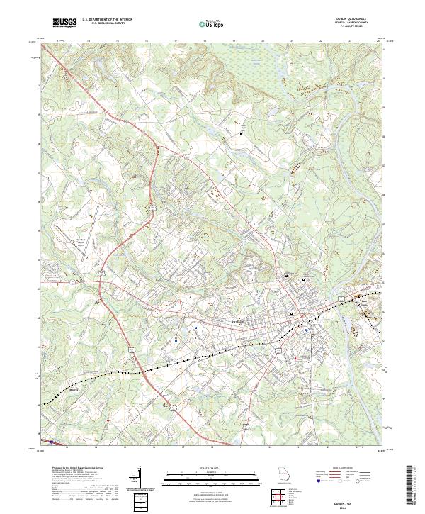
The Oconee River serves as the central geographic feature of this Georgia quadrangle, separating the city of Dublin from East Dublin. The urban core is anchored by the Laurens County Courthouse, with the surrounding street grid reaching out toward established residential areas and landmarks like the W H 'Bud' Barron Airport. For those researching local history, several burial grounds are documented, including the Old Dublin Cem near the town center and the Dudley Memorial Cem to the northeast.
Find a feature on this map
252 named features on this map. Tap any name to fly to it.
Don’t see what you’re looking for? This feature index may not catch every label — zoom into the map to look around manually.
Map Details
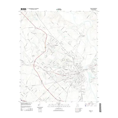
Editions of this 2024 Dublin Map
This is the sole edition of this map. No revisions or reprints were ever made.
Historical Maps of Dublin Through Time
7 maps found