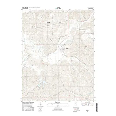
2016 Map of Dubois
USGS Topo · Published 2016About this map
Dubois and Celestine serve as the primary hubs in this portion of Dubois County, where the landscape is defined by the winding course of the Patoka River. The terrain transitions from the alluvial bottomlands of Polson Cr and Beaver Cr into the rising elevations of the Harbison Hills to the east. This 2016 survey documents a rural infrastructure where movement is dictated by these water systems, evidenced by crossing points like the John Seitz Bridge and Crystal Station Bridge.
Find a feature on this map
48 named features on this map. Tap any name to fly to it.
Don’t see what you’re looking for? This feature index may not catch every label — zoom into the map to look around manually.
Map Details
Editions of this 2016 Dubois Map
This is the sole edition of this map. No revisions or reprints were ever made.
Other maps of this area

1946 · Jasper
USGS Topo · 1:24,000

1951 · Hillham
USGS Topo · 1:24,000

1954 · Dubois
USGS Topo · 1:24,000

1954 · Huntingburg
USGS Topo · 1:24,000

1955 · Saint Anthony
USGS Topo · 1:24,000

1956 · Alfordsville
USGS Topo · 1:24,000

1956 · Rusk
USGS Topo · 1:24,000

1956 · Vincennes
USGS Topo · 1:250,000

1957 · Vincennes
USGS Topo · 1:250,000

1957 · Cuzco
USGS Topo · 1:24,000