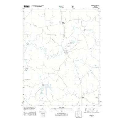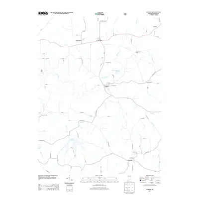
2022 Map of Dubois
USGS Topo · Published 2022About this map
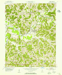
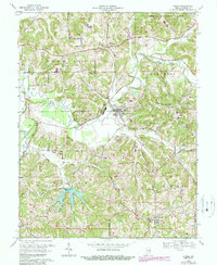
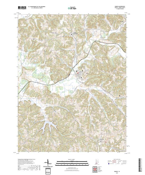
The Patoka River meanders through the heart of this Dubois County landscape, shaping the development of the namesake settlement of Dubois. This rural territory is defined by its strong community ties, anchored by several long-standing religious and burial sites such as the Saint Peters United Church of Christ Cem and Saint Raphaels Cem. The transition from the river lowlands to the Harbison Hills region illustrates the local geography's influence on early transport and settlement patterns, with roads like Indiana 545 connecting established villages. Small hubs like Kellerville, Dubois Crossroads, and Celestine serve as historical anchors for genealogists and local historians. Water features including Beaver Creek Lake and Dubois Community Club Lake indicate the area's ongoing relationship with its hydrology, while family-named landmarks such as Bailey Cem and Ewing Cem provide invaluable touchpoints for tracing local ancestry across the townships.
Find a feature on this map
82 named features on this map. Tap any name to fly to it.
Don’t see what you’re looking for? This feature index may not catch every label — zoom into the map to look around manually.
Map Details
Editions of this 2022 Dubois Map
This is the sole edition of this map. No revisions or reprints were ever made.
Historical Maps of Dubois Through Time
7 maps found