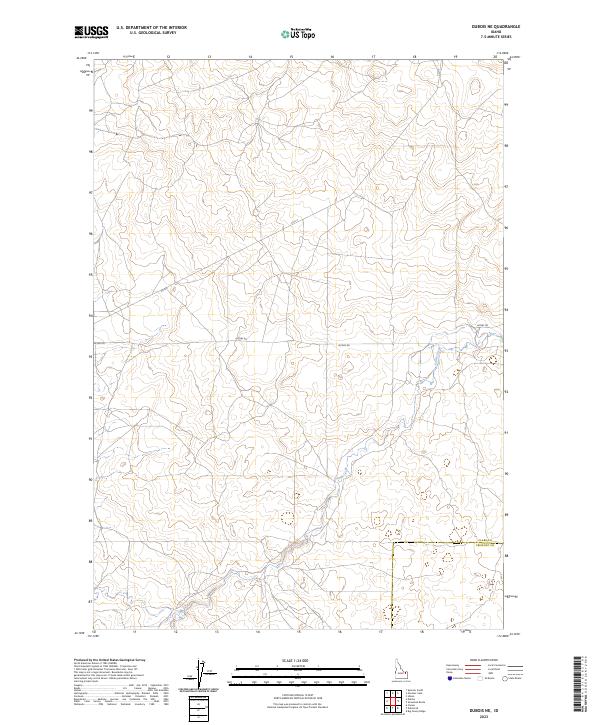
2023 Map of Dubois NE
USGS Topo · Published 2023About this map
Camas Creek winds through this high-altitude landscape of eastern Idaho, cutting a path through the volcanic terrain common to the region. The map captures the meeting point of Clark and Fremont Counties, where the high desert meets the foothills. This specific 2023 survey emphasizes the vast rural network of northern Idaho, defined by critical transportation arteries like Jacoby Rd and Co A-2. These roads serve as the primary infrastructure for the cattle ranching and agricultural operations that have characterized the local economy for generations. The land is strictly organized by the Public Land Survey System, as seen in the prominent township divisions of t10n r37e and t10n r38e, which dictate property boundaries and resource management in this corner of the state.
Find a feature on this map
10 named features on this map. Tap any name to fly to it.
Don’t see what you’re looking for? This feature index may not catch every label — zoom into the map to look around manually.
Map Details
Editions of this 2023 Dubois NE Map
This is the sole edition of this map. No revisions or reprints were ever made.
Other maps of this area

1955 · Dubois
USGS Topo · 1:250,000

1955 · Ashton
USGS Topo · 1:250,000

1958 · Dubois
USGS Topo · 1:250,000

1958 · Ashton
USGS Topo · 1:250,000

1960 · Ashton
USGS Topo · 1:250,000

1964 · Dubois NW
USGS Topo · 1:24,000

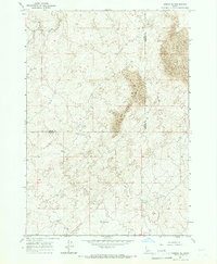
1964 · Dubois NE
USGS Topo · 1:24,000

1964 · Camas
USGS Topo · 1:24,000
1964 · Dubois SE
USGS Topo · 1:24,000

1972 · Spencer South
USGS Topo · 1:24,000