
1964 Map of Dubois NE
USGS Topo · Published 1965About this map
Camas Creek meanders through this high-altitude terrain in the mid-1960s, cutting a path through the southeastern corner of the map. This segment of the landscape is defined by its rural character and open range, where human presence is sparse and largely confined to the Jacoby Ranch. The drainage patterns of the creek and its surrounding tributaries dictate the movement across the territory, with access heavily dependent on a network of primitive roads and a Jeep Trail that winds through the northern sections. The map also delineates the jurisdictional boundary between Clark and Fremont Counties, a line that cuts through the open landscape where development remained minimal decades after the original aerial surveys. For researchers, it provides a look at the essential ranching infrastructure and water access points that sustained agriculture in this part of Idaho.
Find a feature on this map
4 named features on this map. Tap any name to fly to it.
Don’t see what you’re looking for? This feature index may not catch every label — zoom into the map to look around manually.
Map Details
Editions of this 1964 Dubois NE Map
This is the sole edition of this map. No revisions or reprints were ever made.
Other maps of this area

1955 · Dubois
USGS Topo · 1:250,000

1955 · Ashton
USGS Topo · 1:250,000

1958 · Dubois
USGS Topo · 1:250,000

1958 · Ashton
USGS Topo · 1:250,000

1960 · Ashton
USGS Topo · 1:250,000

1964 · Dubois NW
USGS Topo · 1:24,000

1964 · Camas
USGS Topo · 1:24,000
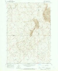
1964 · Dubois SE
USGS Topo · 1:24,000

1972 · Spencer South
USGS Topo · 1:24,000
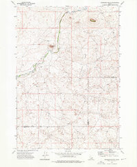
1972 · Snowshoe Butte
USGS Topo · 1:24,000