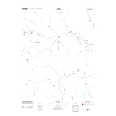
2013 Map of Dubre
USGS Topo · Published 2013About this map
Willow Shade and Dubre anchor this rural Kentucky landscape, where deep-cut valleys and named hollows define the social and physical geography of Metcalfe County. The drainage network is dense, with Marrowbone Cr and Mud Camp Cr winding through the terrain toward the Cumberland River in the southeast. Historical footprints are preserved in the naming of dozens of small valleys, such as Stillhouse Hollow, Humphrey Hollow, and Sulphur Spring Hollow, reflecting a legacy of small-scale industry and early settlement patterns along the watercourses. Local genealogists will find value in the placement of small burial grounds including Mud Camp Cem and Franklin Cem, which sit alongside a network of ridge-running roads like Hickory Ridge. The transition from the upland ridges to the bottomlands at Mud Camp illustrates the traditional Kentucky crossroads development in the early twenty-first century.
Find a feature on this map
93 named features on this map. Tap any name to fly to it.
Don’t see what you’re looking for? This feature index may not catch every label — zoom into the map to look around manually.
Map Details
Editions of this 2013 Dubre Map
This is the sole edition of this map. No revisions or reprints were ever made.
Other maps of this area

1924 · Lillydale
USGS Topo · 1:62,500

1926 · Lillydale
USGS Topo · 1:62,500

1929 · Lillydale
USGS Topo · 1:62,500

1929 · Tompkinsville
USGS Topo · 1:62,500

1953 · Sulphur Lick
USGS Topo · 1:24,000

1953 · Breeding
USGS Topo · 1:24,000

1953 · Waterview
USGS Topo · 1:24,000

1953 · Edmonton
USGS Topo · 1:24,000

1953 · Summer Shade
USGS Topo · 1:24,000

1953 · Dubre
USGS Topo · 1:24,000