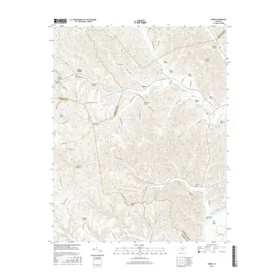
2016 Map of Dubre
USGS Topo · Published 2016About this map
Willow Shade and Dubre serve as the primary focal points in this 2016 survey of the hilly borderlands where Metcalfe, Monroe, and Cumberland counties meet. The landscape is defined by an intricate network of hollows and ridges, such as Stillhouse Hollow, Johnson Hollow, and the prominent Hickory Ridge. The southern edge of the map follows the winding path of the Cumberland River at Salt Lick Bend, where Mud Camp Bar is a notable landmark.
Find a feature on this map
90 named features on this map. Tap any name to fly to it.
Don’t see what you’re looking for? This feature index may not catch every label — zoom into the map to look around manually.
Map Details
Editions of this 2016 Dubre Map
This is the sole edition of this map. No revisions or reprints were ever made.
Other maps of this area

1924 · Lillydale
USGS Topo · 1:62,500

1926 · Lillydale
USGS Topo · 1:62,500

1929 · Lillydale
USGS Topo · 1:62,500

1929 · Tompkinsville
USGS Topo · 1:62,500

1953 · Sulphur Lick
USGS Topo · 1:24,000

1953 · Breeding
USGS Topo · 1:24,000

1953 · Waterview
USGS Topo · 1:24,000

1953 · Edmonton
USGS Topo · 1:24,000

1953 · Summer Shade
USGS Topo · 1:24,000

1953 · Dubre
USGS Topo · 1:24,000