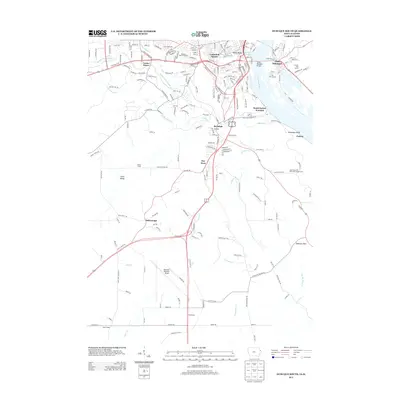
2013 Map of Dubuque South
USGS Topo · Published 2013About this map
The Mississippi River serves as the dominant boundary on this survey, carving the landscape between Iowa and Illinois. The Julien Dubuque Bridge provides the primary connection into East Dubuque, while Cathedral Square and Kellys Bluff mark the urban character of the northern reaches. South of the main city center, the terrain is defined by the complex drainage of Catfish Cr and its various forks, creating a network of ridges and valleys that host older settlements like Rockdale and Key West.
Find a feature on this map
40 named features on this map. Tap any name to fly to it.
Don’t see what you’re looking for? This feature index may not catch every label — zoom into the map to look around manually.
Map Details
Editions of this 2013 Dubuque South Map
This is the sole edition of this map. No revisions or reprints were ever made.
Other maps of this area

1900 · Lancaster
USGS Topo · 1:125,000

1901 · Peosta
USGS Topo · 1:125,000

1904 · Lancaster
USGS Topo · 1:125,000

1908 · Lancaster
USGS Topo · 1:125,000

1935 · East Dubuque
USGS Topo · 1:62,500

1940 · East Dubuque
USGS Topo · 1:62,500

1955 · Menominee
USGS Topo · 1:24,000

1955 · Dubuque South
USGS Topo · 1:24,000

1956 · Dubuque North
USGS Topo · 1:24,000

1956 · Sherrill
USGS Topo · 1:24,000