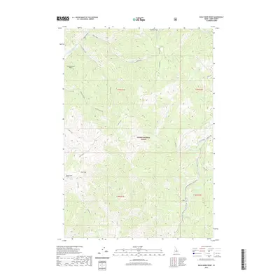
2020 Map of Duck Creek Point
USGS Topo · Published 2020About this map
Salmon National Forest defines this high-elevation landscape in Lemhi County, where the terrain is dominated by prominent summits such as Red Rock Peak and Duck Peak. The map illustrates a complex network of drainage systems, including Beagle Creek, Meadow Creek, and Birdseye Creek, which carve through the steep topography. Human imprint is visible primarily through access routes and seasonal paths like the Meyers Cove Road winter trail and the Hoodoo Creek Trail. Historically descriptive place names like Slaughterhouse Gulch and Duck Creek Point hint at the local ranching or hunting heritage of the region. The map also delineates the transition between several townships, including t19n r17e and t18n r18e, providing a clear structural view of these public lands as they were documented in the late 2010s.
Find a feature on this map
34 named features on this map. Tap any name to fly to it.
Don’t see what you’re looking for? This feature index may not catch every label — zoom into the map to look around manually.
Map Details
Editions of this 2020 Duck Creek Point Map
This is the sole edition of this map. No revisions or reprints were ever made.
Other maps of this area

1930 · Casto
USGS Topo · 1:125,000

1950 · Blackbird Mtn
USGS Topo · 1:62,500

1951 · Blackbird Mtn
USGS Topo · 1:62,500

1956 · Elk City
USGS Topo · 1:250,000

1957 · Challis
USGS Topo · 1:250,000

1960 · Elk City
USGS Topo · 1:250,000

1960 · Challis
USGS Topo · 1:250,000

1962 · Hoodoo Meadows
USGS Topo · 1:24,000

1963 · Challis
USGS Topo · 1:250,000

1963 · Meyers Cove
USGS Topo · 1:24,000