
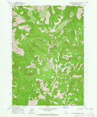
1963 Map of Meyers Cove
USGS Topo · Published 1964About this map
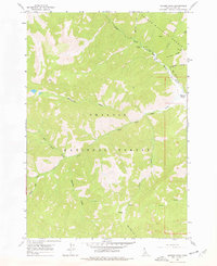
Meyers Cove sits at the convergence of high-altitude drainages within the Challis National Forest and Salmon National Forest. This 1963 field-checked survey reveals an era of mineral exploration in the Salmon River mountains, most notably at the Red Spar Mine and Big Lead Mine along Fluorspar Ridge. A rugged Jeep Trail provides the primary access through Fluorspar Gulch, following the winding path of Camas Creek as it carves through the steep Idaho landscape. The map captures a high-desert mountain environment defined by named drainages like Martindale Creek, Melville Creek, and Little White Goat Creek. Small-scale mining operations and prospects are scattered throughout the northern reaches of the quadrangle, illustrating the mid-century intersection of federal forest management and private resource extraction in Lemhi County.
Find a feature on this map
25 named features on this map. Tap any name to fly to it.
Don’t see what you’re looking for? This feature index may not catch every label — zoom into the map to look around manually.
Map Details
Editions of this 1963 Meyers Cove Map
2 editions found
Other maps of this area

1930 · Casto
USGS Topo · 1:125,000

1956 · Twin Peaks
USGS Topo · 1:62,500

1957 · Challis
USGS Topo · 1:250,000

1960 · Challis
USGS Topo · 1:250,000

1963 · Challis
USGS Topo · 1:250,000

1963 · Rock Creek
USGS Topo · 1:24,000
1963 · Aparejo Point
USGS Topo · 1:24,000
1963 · Yellowjacket
USGS Topo · 1:24,000
1963 · Duck Creek Point
USGS Topo · 1:24,000
1963 · Sleeping Deer Mountain
USGS Topo · 1:24,000