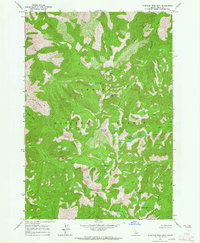
1963 Map of Sleeping Deer Mountain
USGS Topo · Published 1964About this map
Sleeping Deer Mountain anchors this high-elevation Idaho landscape, rising as a prominent summit within the Challis National Forest. The 1963 survey documents a remote wilderness defined by an intricate network of alpine drainages and glacial cirques. A Sleeping Deer Lookout stands atop the peak, overlooking a series of concentrated lake basins including the Cache Creek Lakes, Liberty Lakes, and West Fork Lakes.
Find a feature on this map
27 named features on this map. Tap any name to fly to it.
Don’t see what you’re looking for? This feature index may not catch every label — zoom into the map to look around manually.
Map Details
Editions of this 1963 Sleeping Deer Mountain Map
2 editions found
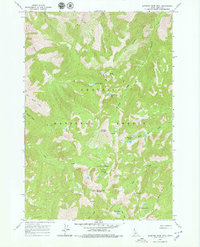
Other maps of this area

1930 · Casto
USGS Topo · 1:125,000

1957 · Challis
USGS Topo · 1:250,000

1960 · Challis
USGS Topo · 1:250,000

1962 · Bear Creek Point
USGS Topo · 1:24,000

1962 · Ramey Hill
USGS Topo · 1:24,000

1963 · Challis
USGS Topo · 1:250,000

1963 · Meyers Cove
USGS Topo · 1:24,000

1963 · Rock Creek
USGS Topo · 1:24,000
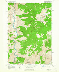
1963 · Aparejo Point
USGS Topo · 1:24,000
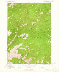
1963 · Yellowjacket
USGS Topo · 1:24,000