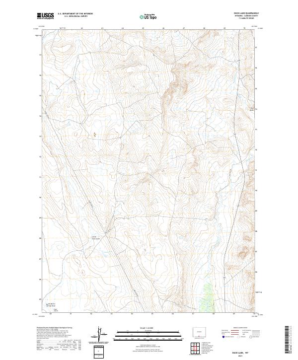
2021 Map of Duck Lake
USGS Topo · Published 2021About this map
Duck Lake sits at the center of this Wyoming high-desert survey, surrounded by the drainage networks of Antelope Cr and Muddy Cr. The landscape is defined by its arid terrain features, including the prominent Pine Butte to the east and the deep incisions of Little Coal Gulch and Coal Gulch. These names suggest a legacy of local resource extraction and the practical navigation needs of early travelers in the Great Divide Basin region. Transportation through this remote section of Carbon County is facilitated by Wamsutter Rd and Duck Lake Rd, which follow the natural contours of the land between North Barrel Springs Draw and the surrounding rangeland. The map illustrates a sparse human footprint, primarily organized around water access and the critical road connections that link these isolated basins.
Find a feature on this map
16 named features on this map. Tap any name to fly to it.
Don’t see what you’re looking for? This feature index may not catch every label — zoom into the map to look around manually.
Map Details
Editions of this 2021 Duck Lake Map
This is the sole edition of this map. No revisions or reprints were ever made.
Other maps of this area

1954 · Rawlins
USGS Topo · 1:250,000

1957 · Doty Mountain
USGS Topo · 1:62,500

1958 · Rawlins
USGS Topo · 1:250,000

1962 · Rawlins
USGS Topo · 1:250,000

1966 · Seaverson Reservoir
USGS Topo · 1:24,000

1966 · High Point
USGS Topo · 1:24,000

1966 · Eightmile Lake
USGS Topo · 1:24,000

1967 · Rawlins
USGS Topo · 1:250,000

1970 · South Barrel Spring
USGS Topo · 1:24,000

1970 · Mexican Flats
USGS Topo · 1:24,000