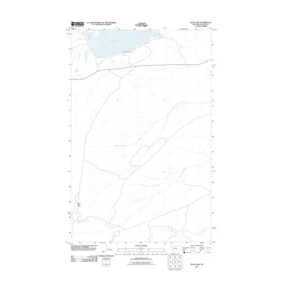
2011 Map of Duck Lake
USGS Topo · Published 2011About this map
Duck Lake dominates the northern landscape of this Glacier County quadrangle, serving as a primary focal point for both hydrology and local recreation at the Duck Lake Campground. The area is defined by a series of branching waterways that move through the terrain, most notably the Middle Fork Milk River and the Dry Fork Milk River, which demonstrate the high-elevation drainage patterns characteristic of this region. To the southwest, the prominent elevation of Saint Mary Ridge rises above the river valleys. The map documents a sparse but deliberate network of roads and trails connecting the lakefront to the lower drainages of Livermore Creek, illustrating how the landscape's natural topography and water sources dictate the movement and settlement patterns in this part of Montana.
Find a feature on this map
6 named features on this map. Tap any name to fly to it.
Don’t see what you’re looking for? This feature index may not catch every label — zoom into the map to look around manually.
Map Details
Editions of this 2011 Duck Lake Map
This is the sole edition of this map. No revisions or reprints were ever made.
Other maps of this area

1901 · Browning
USGS Topo · 1:125,000

1903 · Browning
USGS Topo · 1:125,000

1960 · Cut Bank
USGS Topo · 1:250,000

1963 · Cut Bank
USGS Topo · 1:250,000

1964 · Cut Bank
USGS Topo · 1:250,000

1968 · Saint Mary
USGS Topo · 1:24,000

1968 · Babb
USGS Topo · 1:24,000

1968 · Josephine
USGS Topo · 1:24,000
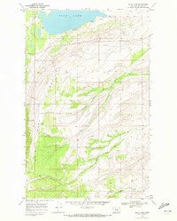
1968 · Duck Lake
USGS Topo · 1:24,000
1968 · Pike Lake
USGS Topo · 1:24,000