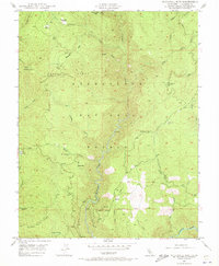
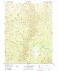
1948 Map of Duckwall Mtn
USGS Topo · Published 1973About this map
The Clavey River carves a deep canyon through the heart of the Stanislaus National Forest in this late-1940s topographic study. The landscape is defined by the high-elevation terrain of Duckwall Mtn, where a prominent Lookout station surveyed the surrounding wilderness. Evidence of the region's timber heritage is preserved in the winding route of the Lumber R.R. as it snakes across the northern ridges. Scattered settlements and seasonal outposts like Quinn Ranch, Camp 45, and Femmons reveal the human presence in this high-country environment. The southern boundary is marked by the Mt Diablo Base Line and the rushing waters of the Tuolumne River, while numerous springs and meadows, such as Thompson Meadow and Indian Spr, provide critical water sources throughout the steep drainage basins of the Duckwall Ridge.
Find a feature on this map
53 named features on this map. Tap any name to fly to it.
Don’t see what you’re looking for? This feature index may not catch every label — zoom into the map to look around manually.
Map Details
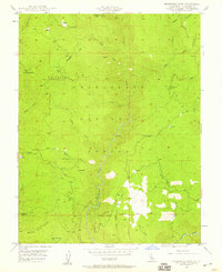
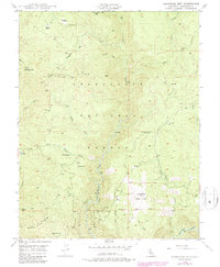
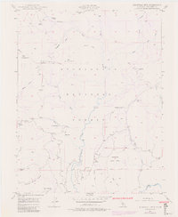
Editions of this 1948 Duckwall Mtn Map
5 editions found
Other maps of this area

1891 · Big Trees
USGS Topo · 1:125,000

1893 · Sonora
USGS Topo · 1:125,000

1894 · Big Trees
USGS Topo · 1:125,000

1896 · Dardanelles
USGS Topo · 1:125,000

1896 · Sonora
USGS Topo · 1:125,000

1897 · Sonora
USGS Topo · 1:125,000

1897 · Big Trees
USGS Topo · 1:125,000

1897 · Yosemite
USGS Topo · 1:125,000

1898 · Dardanelles
USGS Topo · 1:125,000

1898 · Sonora
USGS Topo · 1:125,000