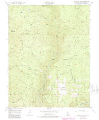
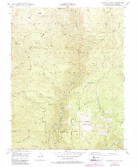
1948 Map of Duckwall Mtn
USGS Topo · Published 1979About this map
The Clavey River and Tuolumne River carve through the high terrain of the Stanislaus National Forest in this mid-century survey of the California Sierra. The landscape is defined by its deep canyons and prominent ridges, including the namesake Duckwall Mtn and the sharp profile of Butcher Knife Ridge. Remote outposts and historic property lines such as Quinn Ranch and Femmons are scattered across the quadrangle, connected by a network of trails and an Old Railroad Grade that traces the upper elevations near Niagara Creek.
Find a feature on this map
37 named features on this map. Tap any name to fly to it.
Don’t see what you’re looking for? This feature index may not catch every label — zoom into the map to look around manually.
Map Details
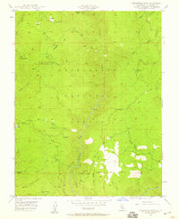
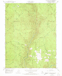
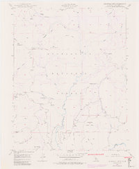
Editions of this 1948 Duckwall Mtn Map
5 editions found
Other maps of this area

1891 · Big Trees
USGS Topo · 1:125,000

1893 · Sonora
USGS Topo · 1:125,000

1894 · Big Trees
USGS Topo · 1:125,000

1896 · Dardanelles
USGS Topo · 1:125,000

1896 · Sonora
USGS Topo · 1:125,000

1897 · Sonora
USGS Topo · 1:125,000

1897 · Big Trees
USGS Topo · 1:125,000

1897 · Yosemite
USGS Topo · 1:125,000

1898 · Dardanelles
USGS Topo · 1:125,000

1898 · Sonora
USGS Topo · 1:125,000