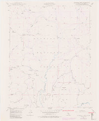
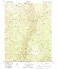
1948 Map of Duckwall Mtn
USGS Topo · Published 1979About this map
Stanislaus National Forest terrain dominates this 1940s landscape, defined by the deep canyons carved by the Clavey River and the Tuolumne River. The topographic detail highlights the high-elevation ridges of the Sierra Nevada foothills, including Duckwall Ridge and the prominent Butcher Knife Ridge. Human activity is primarily limited to isolated outposts and high-country landmarks like the Duckwall Mtn Lookout and the timber-related operations suggested by Camp 45.
Find a feature on this map
36 named features on this map. Tap any name to fly to it.
Don’t see what you’re looking for? This feature index may not catch every label — zoom into the map to look around manually.
Map Details
Editions of this 1948 Duckwall Mtn Map
5 editions found
Other maps of this area

1891 · Big Trees
USGS Topo · 1:125,000

1893 · Sonora
USGS Topo · 1:125,000

1894 · Big Trees
USGS Topo · 1:125,000

1896 · Dardanelles
USGS Topo · 1:125,000

1896 · Sonora
USGS Topo · 1:125,000

1897 · Sonora
USGS Topo · 1:125,000

1897 · Big Trees
USGS Topo · 1:125,000

1897 · Yosemite
USGS Topo · 1:125,000

1898 · Dardanelles
USGS Topo · 1:125,000

1898 · Sonora
USGS Topo · 1:125,000