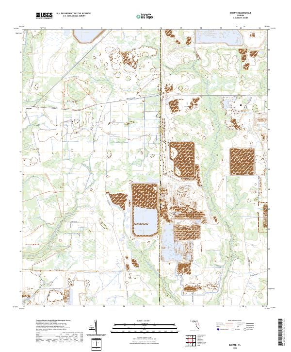
2024 Map of Duette
USGS Topo · Published 2024About this map
The settlement of Duette sits at a historic crossroads where Wauchula Rd meets Keentown Rd, anchoring a landscape defined by the branching headwaters of several major Florida waterways. This rural interior region of Manatee County serves as a critical hydrologic divide, where the North Fork Manatee River and East Fork Manatee River gather their strength before flowing west, while Horse Creek and its western fork drain toward the southeast.
Find a feature on this map
28 named features on this map. Tap any name to fly to it.
Don’t see what you’re looking for? This feature index may not catch every label — zoom into the map to look around manually.
Map Details
Editions of this 2024 Duette Map
This is the sole edition of this map. No revisions or reprints were ever made.
Other maps of this area

1955 · Ft. Green
USGS Topo · 1:24,000

1955 · Baird
USGS Topo · 1:24,000

1956 · Ona
USGS Topo · 1:24,000

1956 · Myakka City NW
USGS Topo · 1:24,000

1956 · Ft Lonesome
USGS Topo · 1:24,000

1956 · Myakka Head
USGS Topo · 1:24,000

1956 · Duette NE
USGS Topo · 1:24,000

1956 · Duette
USGS Topo · 1:24,000

1956 · Keentown
USGS Topo · 1:24,000

1956 · Tampa
USGS Topo · 1:250,000