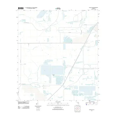
2012 Map of Duette NE
USGS Topo · Published 2012About this map
The S Prong Alafia River and Little Manatee River define this rural landscape in Hillsborough County, where the transition between natural wetlands and industrial land use is clearly visible. The southern portion of the map is dominated by the Little Dry Prairie and an intricate network of waterways including Alderman Cr and Lake Br. This 2012 survey illustrates a region shaped by agricultural and industrial transport, evidenced by names like Fort Lonesome Plant Rd and 4 Corners Mine Rd. Local infrastructure is marked by family and descriptive road names such as Albritton Rd, Chicora Rd, and Taylor Gill Rd, reflecting the rural character of the Florida interior before contemporary suburban expansion reached this far east.
Find a feature on this map
15 named features on this map. Tap any name to fly to it.
Don’t see what you’re looking for? This feature index may not catch every label — zoom into the map to look around manually.
Map Details
Editions of this 2012 Duette NE Map
This is the sole edition of this map. No revisions or reprints were ever made.
Other maps of this area

1949 · Bradley Junction
USGS Topo · 1:24,000

1950 · Bradley Junction
USGS Topo · 1:24,000

1955 · Lithia
USGS Topo · 1:24,000

1955 · Ft. Green
USGS Topo · 1:24,000

1955 · Baird
USGS Topo · 1:24,000

1955 · Keysville
USGS Topo · 1:24,000

1956 · Ft Lonesome
USGS Topo · 1:24,000

1956 · Duette NE
USGS Topo · 1:24,000

1956 · Duette
USGS Topo · 1:24,000

1956 · Keentown
USGS Topo · 1:24,000