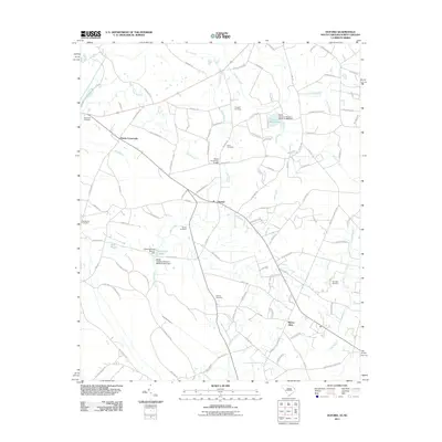
2011 Map of Duford
USGS Topo · Published 2011About this map
Floyds Crossroads and Duford anchor this agricultural landscape in Horry County, showing a network of rural homesteads and family cemeteries typical of the South Carolina coastal plain in the early 21st century. The terrain is defined by slow-moving drainage systems, including Cartwheel Branch and the Long Branch Swamp at the southern edge. Local industry and land use are reflected in numerous water control structures such as the Granger Mill Pond and Clemons Pond, which are associated with specific dams like the Clemons Pond Dam D-3611. Genealogists will find significant value in the distribution of family-named burial grounds across the area, from the Riverside Cemetery near Pew Branch to the Jernigan Cemetery located along the eastern edge of the survey near Trippiloo Creek.
Find a feature on this map
102 named features on this map. Tap any name to fly to it.
Don’t see what you’re looking for? This feature index may not catch every label — zoom into the map to look around manually.
Map Details
Editions of this 2011 Duford Map
This is the sole edition of this map. No revisions or reprints were ever made.
Other maps of this area

1943 · Pages Mill
USGS Topo · 1:62,500

1948 · Galivants Ferry
USGS Topo · 1:24,000

1948 · Nichols
USGS Topo · 1:24,000

1948 · Bayboro
USGS Topo · 1:24,000

1949 · Bayboro
USGS Topo · 1:24,000

1949 · Duford
USGS Topo · 1:24,000

1950 · Galivants Ferry
USGS Topo · 1:24,000

1950 · Nichols
USGS Topo · 1:24,000

1953 · Chadbourn
USGS Topo · 1:62,500

1953 · Florence
USGS Topo · 1:250,000