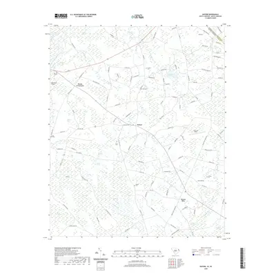
2020 Map of Duford
USGS Topo · Published 2020About this map
Floyds Crossroads and Duford anchor this agricultural landscape in the northeastern corner of Horry County, just below the North Carolina state line. The terrain is defined by a dense network of Carolina bays and swampy depressions, including Juniper Bay, Alligator Bay, and Cartwheel Bay, which create a complex mosaic of land use. These natural features are interspersed with small family settlements and historic burial grounds such as Riverside Cem and Soules Cem, reflecting a long history of rural community life.
Find a feature on this map
115 named features on this map. Tap any name to fly to it.
Don’t see what you’re looking for? This feature index may not catch every label — zoom into the map to look around manually.
Map Details
Editions of this 2020 Duford Map
This is the sole edition of this map. No revisions or reprints were ever made.
Other maps of this area

1943 · Pages Mill
USGS Topo · 1:62,500

1948 · Galivants Ferry
USGS Topo · 1:24,000

1948 · Nichols
USGS Topo · 1:24,000

1948 · Bayboro
USGS Topo · 1:24,000

1949 · Bayboro
USGS Topo · 1:24,000

1949 · Duford
USGS Topo · 1:24,000

1950 · Galivants Ferry
USGS Topo · 1:24,000

1950 · Nichols
USGS Topo · 1:24,000

1953 · Chadbourn
USGS Topo · 1:62,500

1953 · Florence
USGS Topo · 1:250,000