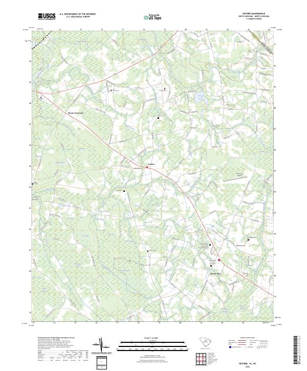
2024 Map of Duford
USGS Topo · Published 2024About this map
Gapway Swamp and Jordan Creek drain the low-lying landscapes of Horry County at the South Carolina and North Carolina border. This area is characterized by a dense network of elliptical depressions known as Carolina Bays, including Big Bay, Alligator Bay, and Fifteenmile Bay, which dictate the local drainage and road patterns. The small agricultural settlements of Duford and Mount Olive serve as local hubs, connected by routes like Old Stage Rd and Hwy 389. Genealogists will find a high concentration of family and community burial sites such as Martin Cem, Hook Cem, and the Mount Vernon Missionary Church Graveyard. The eastern portion of the map is marked by the Green Sea Airport and the crossing of Trappiloo Creek, illustrating the intersection of modern aviation and the longstanding river-and-swamp geography that has shaped this region for generations.
Find a feature on this map
149 named features on this map. Tap any name to fly to it.
Don’t see what you’re looking for? This feature index may not catch every label — zoom into the map to look around manually.
Map Details
Editions of this 2024 Duford Map
This is the sole edition of this map. No revisions or reprints were ever made.
Other maps of this area

1943 · Pages Mill
USGS Topo · 1:62,500

1948 · Galivants Ferry
USGS Topo · 1:24,000

1948 · Nichols
USGS Topo · 1:24,000

1948 · Bayboro
USGS Topo · 1:24,000

1949 · Bayboro
USGS Topo · 1:24,000

1949 · Duford
USGS Topo · 1:24,000

1950 · Galivants Ferry
USGS Topo · 1:24,000

1950 · Nichols
USGS Topo · 1:24,000

1953 · Chadbourn
USGS Topo · 1:62,500

1953 · Florence
USGS Topo · 1:250,000