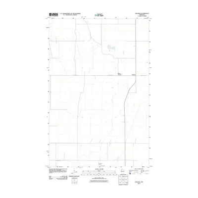
2010 Map of Dugdale
USGS Topo · Published 2010About this map
Tilden Junction and Dugdale sit at the intersection of rural transit and agriculture in this portion of Polk County. The landscape is defined by the highly structured grid typical of the Red River Valley, where County Hwy-45 serves as a primary east-west corridor. This 2010 survey highlights the sparse but significant landmarks of the area, including Our Saviors Cemetery, which serves as a vital point of reference for local family history and genealogical research. The natural drainage of the flat prairie land is evidenced by the winding path of Burnham Creek as it meanders through the southern sections. This map documents a quiet corner of Northwest Minnesota, capturing the enduring pattern of homesteads and small railway-adjacent settlements that have shaped the region's character for over a century.
Find a feature on this map
5 named features on this map. Tap any name to fly to it.
Don’t see what you’re looking for? This feature index may not catch every label — zoom into the map to look around manually.
Map Details
Editions of this 2010 Dugdale Map
This is the sole edition of this map. No revisions or reprints were ever made.
Other maps of this area

1918 · Terrebonne
USGS Topo · 1:62,500

1918 · Red Lake Falls
USGS Topo · 1:62,500

1919 · Valley
USGS Topo · 1:62,500

1952 · Red Lake Falls
USGS Topo · 1:62,500

1952 · Grand Forks
USGS Topo · 1:250,000

1956 · Grand Forks
USGS Topo · 1:250,000

1964 · Terrebonne
USGS Topo · 1:24,000

1965 · Dugdale
USGS Topo · 1:24,000

1965 · Fertile
USGS Topo · 1:24,000

1965 · Melvin
USGS Topo · 1:24,000