
1964 Map of Terrebonne
USGS Topo · Published 1965About this map
The Clearwater River carves a winding, serpentine path through the northern landscape of this Minnesota township, defining the boundary between Gervais and Red Lake Falls. Settlement is centered on the small community of Terrebonne, where Terrebonne Creek meets the river. The agricultural character of the mid-1960s is evident in the dense network of drainage ditches and the inclusion of visible fence and field lines recorded during the 1964 topographic surveys.
Find a feature on this map
16 named features on this map. Tap any name to fly to it.
Don’t see what you’re looking for? This feature index may not catch every label — zoom into the map to look around manually.
Map Details
Editions of this 1964 Terrebonne Map
This is the sole edition of this map. No revisions or reprints were ever made.
Other maps of this area

1918 · Terrebonne
USGS Topo · 1:62,500

1918 · Red Lake Falls
USGS Topo · 1:62,500

1919 · Valley
USGS Topo · 1:62,500

1952 · Red Lake Falls
USGS Topo · 1:62,500

1952 · Grand Forks
USGS Topo · 1:250,000

1956 · Grand Forks
USGS Topo · 1:250,000
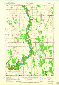
1964 · Plummer NW
USGS Topo · 1:24,000
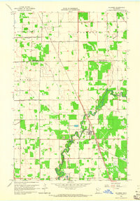
1964 · Plummer
USGS Topo · 1:24,000

1964 · Brooks
USGS Topo · 1:24,000

1965 · Dugdale
USGS Topo · 1:24,000