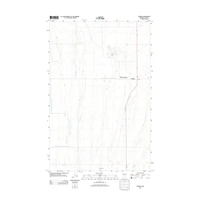
2013 Map of Dugdale
USGS Topo · Published 2013About this map
Dugdale and the rail intersection at Tilden Junction anchor this 2013 study of the Polk County landscape. The area is defined by a highly organized drainage system designed to manage the flat plains of northwestern Minnesota, featuring significant infrastructure like County Ditch Number One Hundred Forty and County Ditch Number One Hundred Twenty-nine. These artificial waterways cut across the terrain alongside the natural path of Burnham Cr, illustrating the intensive agricultural engineering required to sustain local farming. The map also records the location of Our Saviors Cem in the southern portion of the quadrangle, a key point of interest for genealogists and local historians tracking early settlement patterns near the MN-32 corridor.
Find a feature on this map
7 named features on this map. Tap any name to fly to it.
Don’t see what you’re looking for? This feature index may not catch every label — zoom into the map to look around manually.
Map Details
Editions of this 2013 Dugdale Map
This is the sole edition of this map. No revisions or reprints were ever made.
Other maps of this area

1918 · Terrebonne
USGS Topo · 1:62,500

1918 · Red Lake Falls
USGS Topo · 1:62,500

1919 · Valley
USGS Topo · 1:62,500

1952 · Red Lake Falls
USGS Topo · 1:62,500

1952 · Grand Forks
USGS Topo · 1:250,000

1956 · Grand Forks
USGS Topo · 1:250,000

1964 · Terrebonne
USGS Topo · 1:24,000

1965 · Dugdale
USGS Topo · 1:24,000

1965 · Fertile
USGS Topo · 1:24,000

1965 · Melvin
USGS Topo · 1:24,000