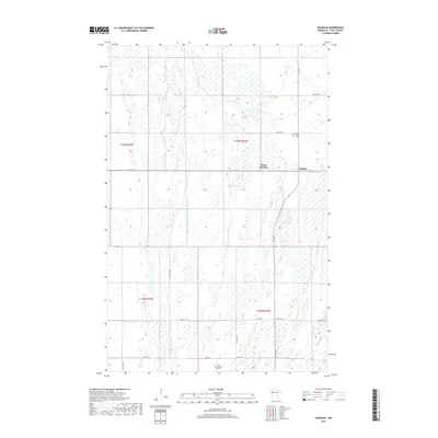
2019 Map of Dugdale
USGS Topo · Published 2019About this map
Dugdale and Tilden Junction sit within a landscape defined by an extensive network of water management in the Red River Valley. The terrain is marked by the presence of large-scale drainage projects, most notably the County Ditch Number One Hundred Forty and County Ditch Number One Hundred Twenty-nine, which slice through the township lines of t149n r44w and t148n r44w. This system reflects the region's long-standing reliance on engineering to support its agricultural foundation.
Find a feature on this map
23 named features on this map. Tap any name to fly to it.
Don’t see what you’re looking for? This feature index may not catch every label — zoom into the map to look around manually.
Map Details
Editions of this 2019 Dugdale Map
This is the sole edition of this map. No revisions or reprints were ever made.
Other maps of this area

1918 · Terrebonne
USGS Topo · 1:62,500

1918 · Red Lake Falls
USGS Topo · 1:62,500

1919 · Valley
USGS Topo · 1:62,500

1952 · Red Lake Falls
USGS Topo · 1:62,500

1952 · Grand Forks
USGS Topo · 1:250,000

1956 · Grand Forks
USGS Topo · 1:250,000

1964 · Terrebonne
USGS Topo · 1:24,000

1965 · Dugdale
USGS Topo · 1:24,000

1965 · Fertile
USGS Topo · 1:24,000

1965 · Melvin
USGS Topo · 1:24,000